Articles
Published 2009-01-01
Keywords
- poverty mapping,
- transfer schemes,
- Commonwealth of Dominica
How to Cite
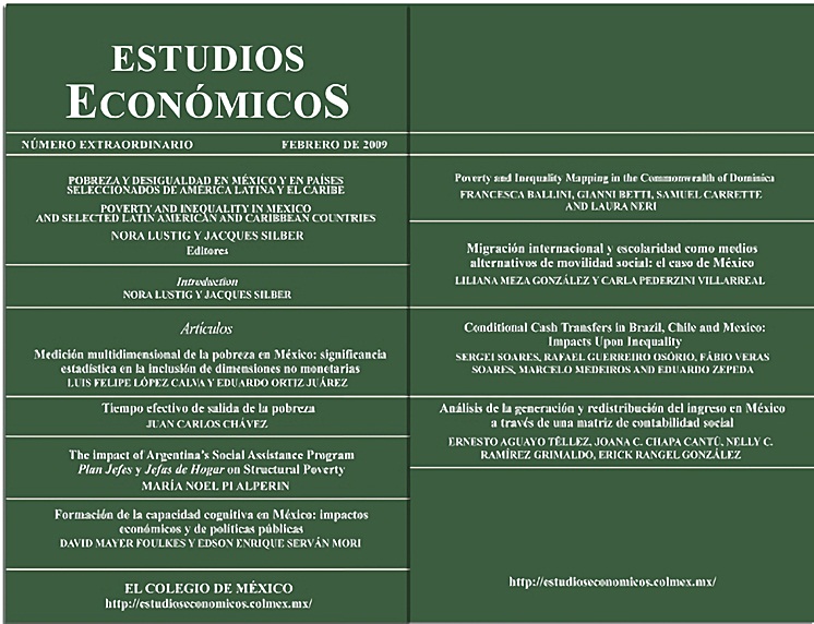
Ballini, F., Carrete, S., Betti, G., & Neri, L. (2009). Poverty and inequality mapping in the Commonwealth of Dominica. Estudios Económicos De El Colegio De México, 123–162. https://doi.org/10.24201/ee.v0i0.384
Abstract
Poverty and inequality maps - spatial descriptions of the distribution of poverty and inequality - are most useful to policy-makers and researchers when they are finely disaggregated, that is when they want to represent small geographic units, such as cities, municipalities, districts or other administrative partitions of a country. In order to produce poverty and inequality maps, living standard surveys covering income or consumption are econometrically combined with data from censuses or other sample surveys large enough to allow disaggregation of the poverty and inequality estimates.
Downloads
Download data is not yet available.

